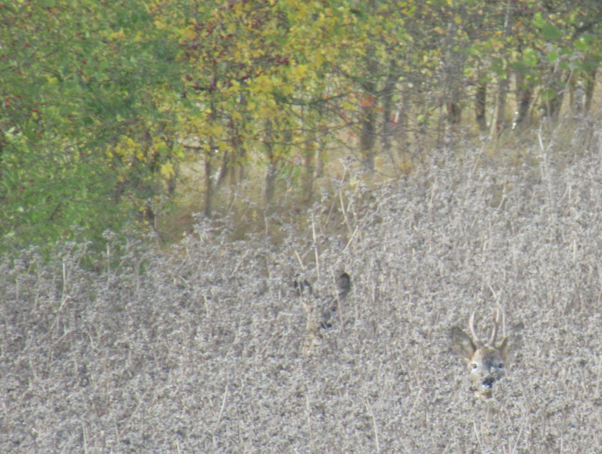
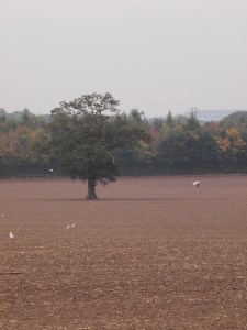
A short walk that leaves you with plenty to think about past, present and future. PAST: The route to the Solar Farm and New House Farm uses a footpath that is shown on maps dating from 1880 and according to research, (link to article) was the main route out of BT to Warwick for villagers. PRESENT: The Solar Farm is supplying energy now and will be an important technology for our future green energy needs, read this article from November 2014 (article download below). FUTURE : The area to the north of the Tach Brook is planned to be a country park. Look at the plans and comment at WDC following this link, (link to country park). The land opposite Tachbrook Mallory is earmarked for a secondary school. This route appears to be dog walker friendly and is good if you just want a gentle stroll and view across the valley formed by the Tach Brook. If you are lucky you may spot roe deer as pictured in the featured image.

The map shows the route labelled in red 1 to 6. Camera signs correspond to the attached photos that give a taster of the walk and show which gates and signs to follow.
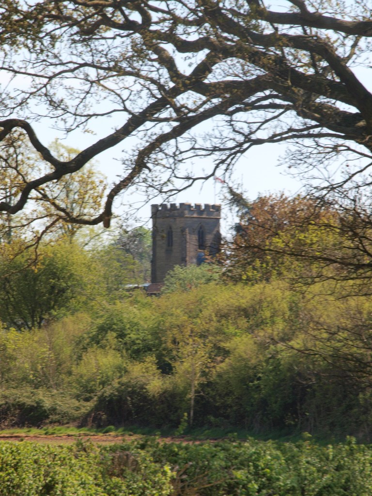
- Start at St Chads Church facing the local store, go across the green and walk 100 yards down Argyle Way.
- At the bend in the road before Lilse Gardens, turn right down Millway Drive and then almost immediately left down Farm Walk. Head for the garages in the top right corner, you should see the entrance to the path as shown below. Note: this article describes the origin of some of these road names.

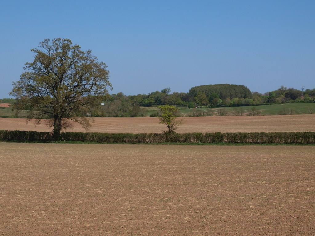
3. The view straight ahead here is Windmill Hill, the picture below shows the view at harvest time! Turn left and walk for a few hundred yards

4. You will come to a large field which at the time of writing has been ploughed. The path continues straight on towards the Solar Farm as marked on the map.
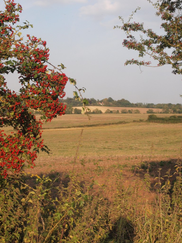
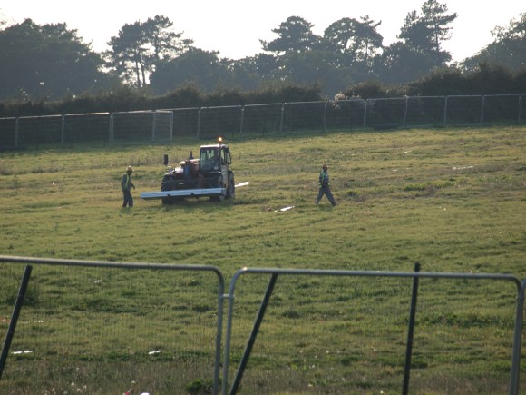
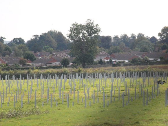
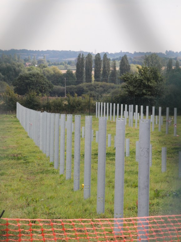
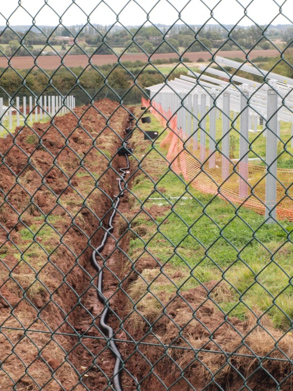
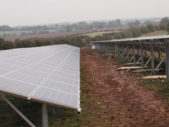
5. The Solar Farm should be to your left. This was built in Oct 2014 and took just a couple of months to put up. Follow the path parallel to the hedge, below a picture from this point in Autumn
The slide show below shows some pictures of the Solar Farm under construction. Anorak corner: OS maps now have a symbol especially for Solar Farms.


5. Continue over the stile(or just loop back home especially if you are dog walking) towards New House Farm

6. Walk straight for a few hundred yards until you reach New House Farm. The view to the right at the lowest point, along the tree line is the course of the Tach where the Country Park will be situated. At this point retrace your steps and return to BT.


Note on walk to The Aps and Beyond
The path actually continues at this point towards the tree in the centre of the field and then to a stile that takes you onto Europa Way. The footpath then continues straight on the other side of Europa Way that takes you to the Asps and the Banbury Road. Turn right and you walk towards Warwick left and then right and it is an alternative route to Barford.
At the time of writing, as with the photograph taken a few years ago, the path goes across a large agricultural field with no sign of the footpath introducing a dilemma of the route to take. The stile on the other side of the field takes you onto Europa Way, a busy road even now, then directly opposite is a well hidden and dilapidated stile. For these two reasons I have not described the route any further than New House Farm.
